Tsunami surge that starts at 11:50 p.m and lasts overnight much smaller than 2011 waves, which crunched Noyo Harbor
Back in 2011 the Noyo Harbor disrtrict, Coast Guard and others faced a boat evacuation that lit up the harbor and created fear and heroism on probably the most dramatic night in harbor history.
New technology had given them about five hours warning of a possibly major tsunami headed east from Japan’s earthquake and tsunamis there, the greatest natural disaster for that nation in modern history.
People worked the phones and woke up boat owners, most of whom who were already headed out through the jetty to the safety of high seas. The others lined up nervously but the entire parade made it out, shortly before a 6 foot wave surge hit. That tsunami destroying 26 berths and causing an estimated $2 million in damage to docks and other infrastructure. Almost all the boats made it out and those that stayed got damaged by the surge and the surging currents.
Right now, at 1030 p.m, another tsunami is on the way. This one is expected to measure less than 1/5th the surge of 2011. This one might top out at 1.3 feet, still enough to create some havoc but not enough to evacuate the mooring basin. Authorities closed off all public areas at some point. And lots of boat owners were in the harbor at 10:30 p.m. It was more of a party than a panic this time. One man who had come down and made the rounds of gab fests with other fishermen decided to go home and forget it. “From everything I have learned in the last hour, its not worth the price of gas.”
The two command centers last time, the Noyo Harbor District office and the Coast Guard station were both dark and mostly silent. Some coast guardsmen were walking around the docks but the boats were not running and it appeared nothing would be happening.
A man who had heard of the Tsunami and jumped into his truck in Willits and arrived in a bit of a panic due to the inability of getting news on the radio, had his boat running. He had been talking to others and said he would go out about 11 p.m, just to be safe. Some boats, including the party boats Sea Hawk and Royal Seahawk had gone out already.
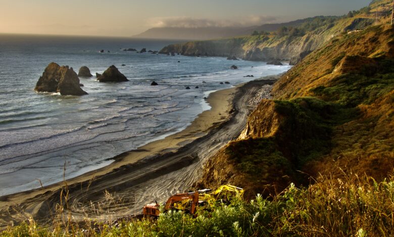
One very pricey worksite that faces threat is the slightly elevated roadway that Myers Construction has built for its Caltrans project at Blues Beach. Nobody told me this was a problem, but the beach is very low (bad place for sneaker waves due to the lack of an elevation change) and the construction project has been built on top of the beach, with piles of dirt holding the ocean back.
Want to know more?
The best site is the Federal Tsunami site which has latest info The Calfiornia Department of Conservation site, which has tsunami warning maps has been down all evening.
Watch the Tsunami live on the Noyo Center’s live camera! Thanks Paul!
:A 1.3-foot tsunami would be described as a small but hazardous event, primarily characterized by dangerous currents and surges that could pose a risk to people and property near the water’s edge, according to the Oregon Department of Emergency Management. It’s crucial to heed tsunami advisories even for seemingly small increases in water level, as the power and unpredictability of the ocean should not be underestimated.

I was on Blues Beach with both dogs when two young women swimming in the surf came out after their cell phone alert came. My and my wives phone did not alert, although it is supposed to. Nor did we get a call at here at home in Cleone until a full hour after the advisory.
When we got back up the shore none of us had been able to find out anything more from contacting home. The internet had the most cursory of information. Local radio stations did not interrupt their regular programming for a news update. I did hear one from Andre at KZYX just before 10 p.m
I was taking photos of the construction at Blues Beach. A construction road has been built along the bluffs to deliver large boulders to the bottom of the bluffs to stop erosion. That road could certainly be wiped out by the ocean if even a small tsunami comes.
Here is what is forecast as of now.
Fort Bragg       2350  PDT Jul 29   9 hrs    0.8- 1.4 ft   Ocean level rise
Crescent City    2350  PDT Jul 29  36 hrs    2.9- 5.4 ft   Ocean level rise
Monterey         0015  PDT Jul 30           less than 1ft  Ocean level rise
A one foot tsunami means that the ocean rises one foot. That’s enough to cause damage, but also depends on the tide. The entire ocean basically moves toward us in a tsunami.
Never go to the ocean to see a Tsunami. But out at sea is a safe place to be, as tsunamis, no matter how large, pass unseen below boats in deep water.
The tsunami advisory remains in effect for the entire California coast after the 4th largest earthquake of the 21st century struck in Russia and is now reverberating across across the Pacific Ocean on Tuesday. The magnitude is now estimated at 8.8, which would make it one of the most significant earthquakes in recorded history But magnitudes change as geologists triangulate. And high magnitude earthquakes don’t necessarily mean big damages or big tsunamis. Its all in how the continental plates move, whether up and down or side to side. Despite the magnitude, this quake is not expected to create a major disaster in North America and might not do much at all in Fort Bragg.
The news about the tides could be worse, but also could be better.
The tides also determine how bad a Tsunmi will be. High tide comes at 2.25 am, three hours after the Tsunami surge is expected to first arrive in Fort Bragg’s Noyo Harbor, the worst place for Tsunamis. But tsunami surges can continue slowly and incrementally, which is bad news, especially as the high tide will be fairly high at 5.5 feet and water will already be rising quickly
Crescent City is one of the worst places in the world because its offshore underwater canyons heighten and focus incoming tsunamis to make them larger.
The National Tsunami Warning Center, based in Alaska, issued a tsunami warning for parts of the Alaska Aleutian Islands, and an advisory for the West Coast, including California, Oregon and Washington. The advisory also includes a vast swath of Alaska’s coast line, including parts of the panhandle
From SF Gate:
The National Weather Service’s Bay Area office said the estimated time of arrival in California is approximately 12:15 a.m. in Monterey, 12:40 a.m. in San Francisco and 1:05 a.m. at Los Angeles harbor. “Flooding of coastal regions is possible,” although meteorologists are still “currently evaluating the threat,” the NWS said in its alert.


