Come join me tomorrow on a Mendocino Land Trust King Tides walk after the KOZT broadcast and send us your king tides photos- here are ours

Annual King Tides Return to Mendocino Coast
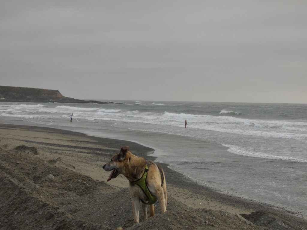
It’s that time again — the highest and lowest tides of the year are rolling in. The California Coastal Commission invites residents to photograph these extreme water levels as part of its King Tides Project, creating a visual record of our changing shoreline and we want your photos and impressions.
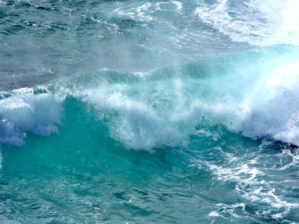
Ours was- we have seen much higher water from winds and waves. King tides arent the same everywhere and ours while very high tides, were not as big as in other areas of the Coast. But the peak is Friday!
We hope you come with Frank and Mendocino Land Trust board member and environmental educator Lorrie Lagasse will lead a King Tides walk at Pudding Creek Beach on Friday, December 5, at 9:45 a.m.
Frank will try to mention it on KOZT news, he fills in tomorrow for News Director Joe Regelski.
The California Coastal Commission wants your photos for their King Tides Project. We want to see your photos too.
Here is what we got:


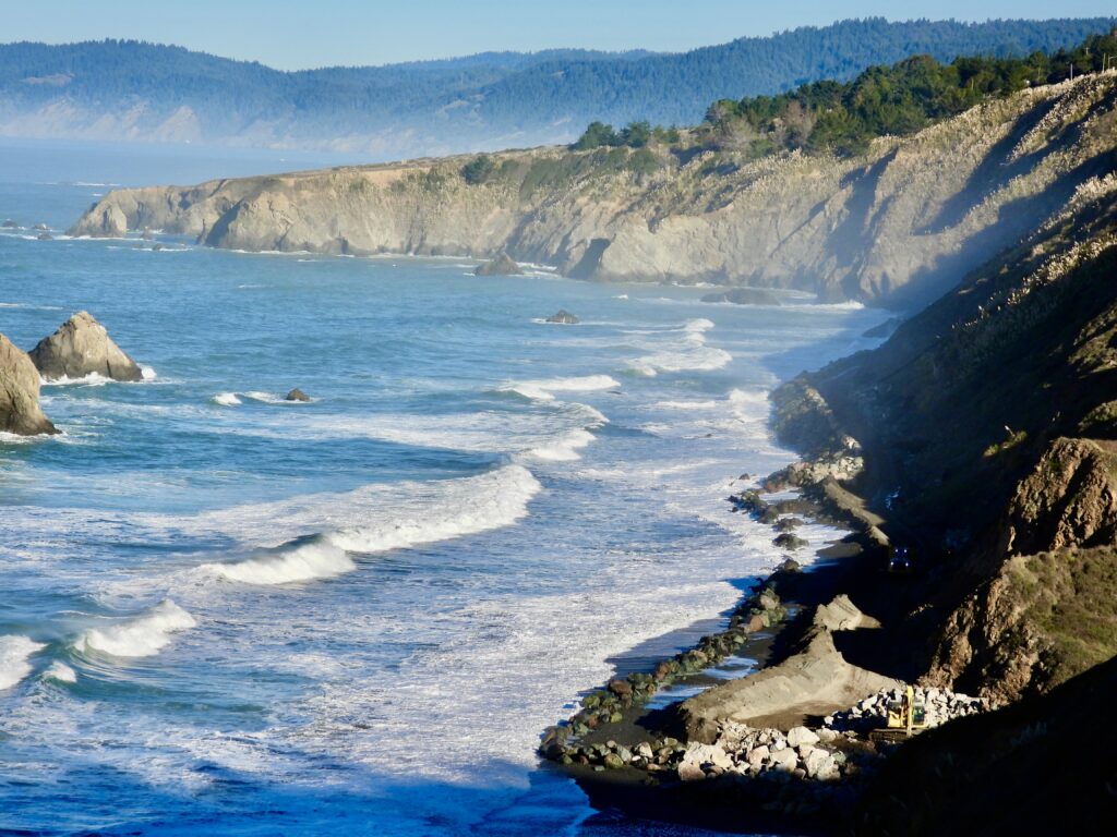

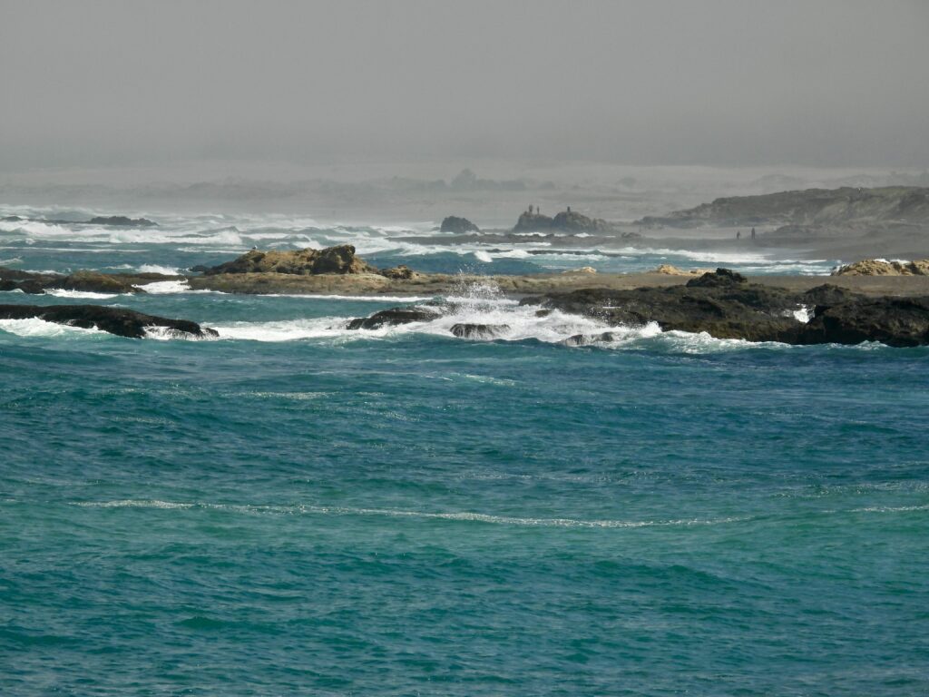
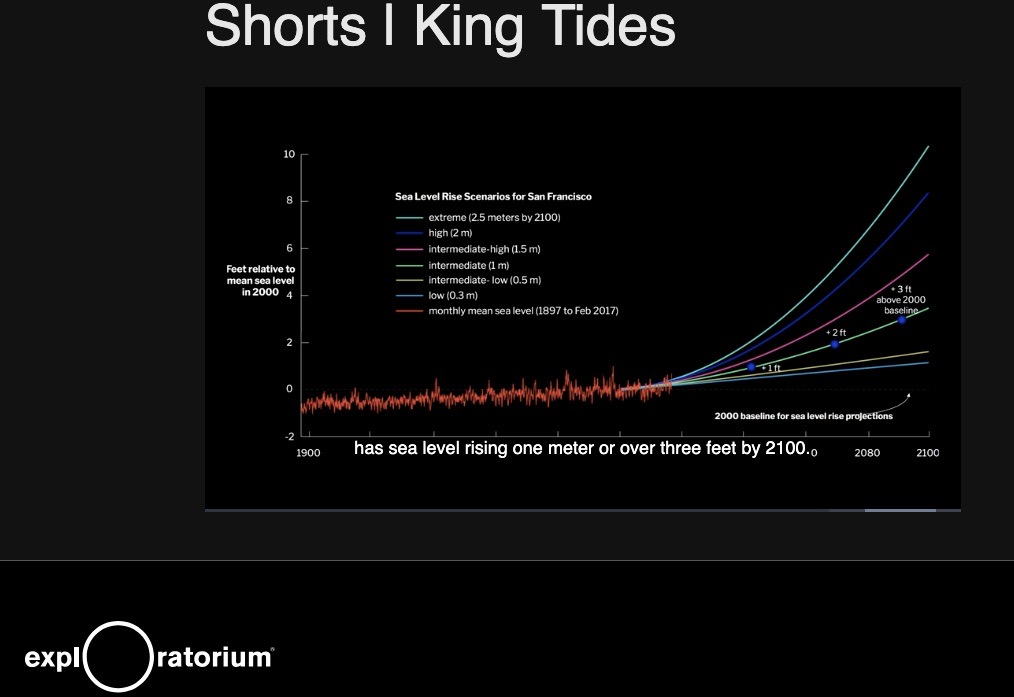
Mendocino County’s coast sits at a generally higher elevation than much of the shoreline from San Diego to San Francisco. Yet every beach lies virtually at sea level — making them the perfect vantage points to capture images that show how rising seas could reshape our coast.
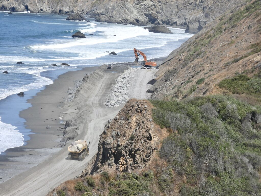
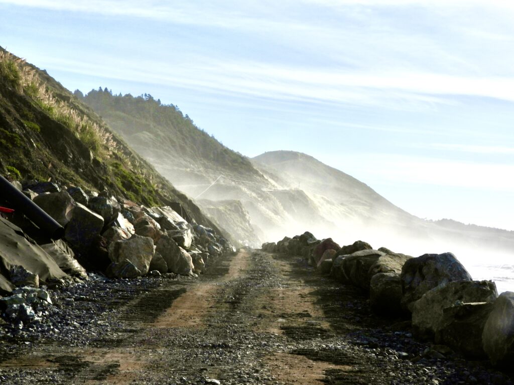
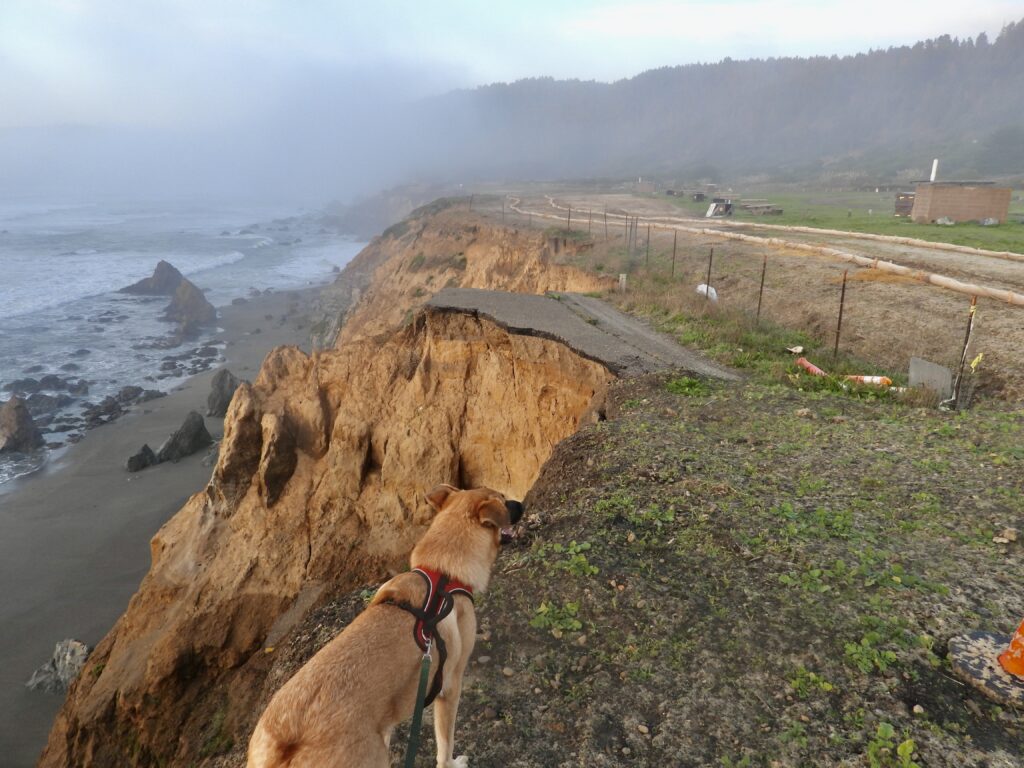
Local Low Spots at Risk While Mendocino’s bluffs and headlands sit higher than much of California’s coast, several low-lying areas remain especially vulnerable when King Tides roll in. Worrisome spots include:
- State Route 1 at Seaside Beach
- Albion Flats
- Noyo Harbor
- Laguna Point in MacKerricher State Park
- The tunnel under State Route 1 at Pudding Creek
- Immediate areas around rivers and streams
These places are reminders that even in a county of higher elevations, the ocean finds its way inland wherever the land dips low. King Tides offer a preview of how climate change could magnify flooding in these zones over the coming decades.
Join the King Tides Project
Want to be part of something bigger than just watching waves? 📸 The California King Tides Project invites everyone to document the highest and lowest tides of the year. By snapping photos of familiar places during these extreme tides, you help create a living record of how rising seas may reshape our coastlines. These images are used by scientists, planners, and community advocates to better understand flooding risks and prepare for the future.
Bring your phone or camera and head out Thursday or Friday to capture Mendocino’s shoreline at its most dramatic:
- Thursday, Dec. 4 (Fort Bragg): High tide of 7.8 feet at 9:20 a.m., low tide of −1.9 feet at 4:45 p.m.
- Friday, Dec. 5: High tide of 7.9 feet at 10:06 a.m., low tide of −2.0 feet at 5:34 p.m.
The ocean follows a daily rhythm of two high tides and two low tides. Occasionally, the 24‑hour overlap shifts the calendar, showing three tides one day and five the next.
By joining in, you’re not just taking photos — you’re helping Mendocino County and the wider California coast prepare for the challenges of climate change.

Here is the local tide chart: Fort Bragg Landing, CA – Local Tide Times, Tide Chart | US Harbors
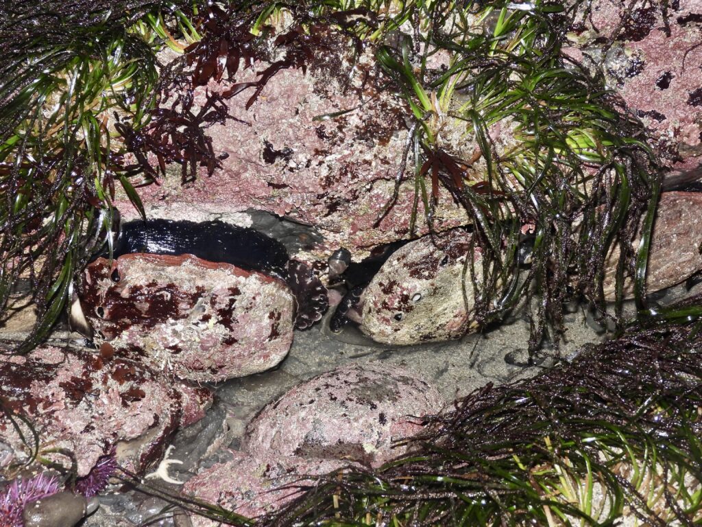
The Drama of Low Tides Many of us prefer the dramatic low tides that come with the King Tides, when the ocean pulls back far enough to reveal hidden worlds — the sea life soap operas usually kept out of sight.
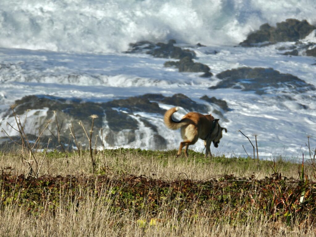
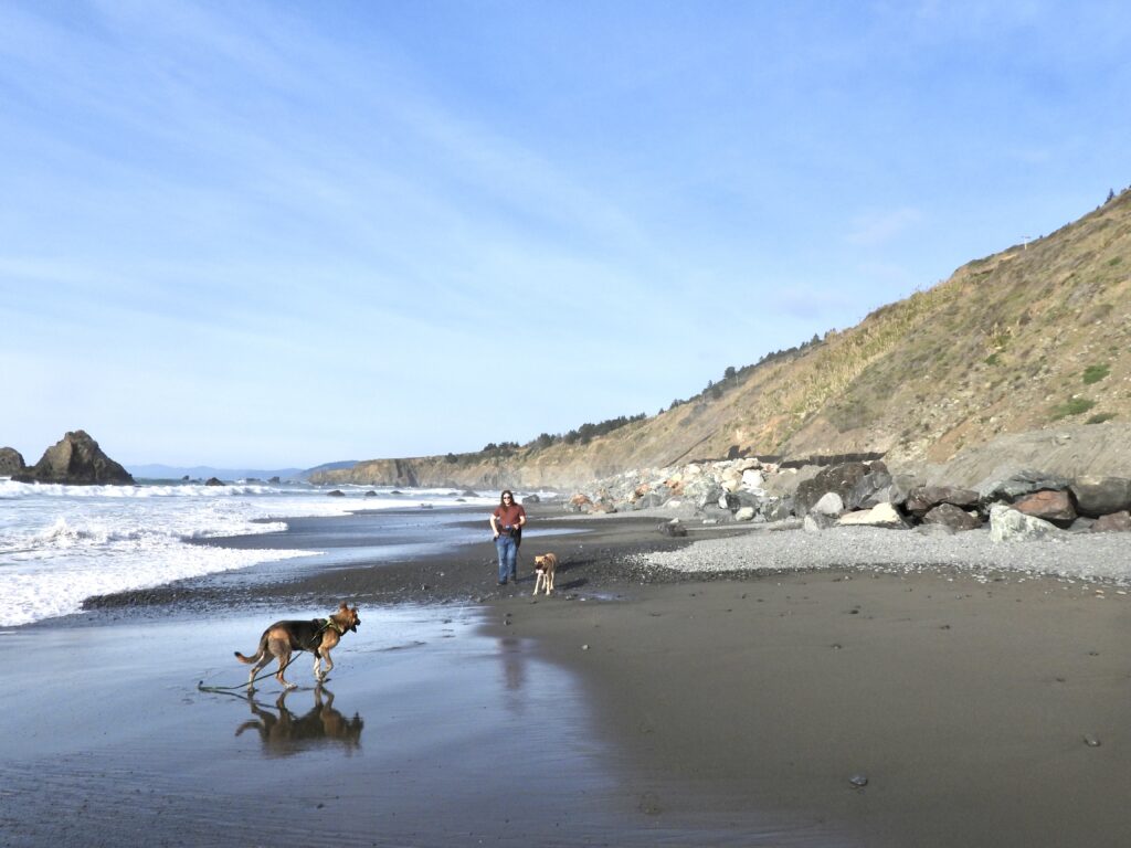
During the 2024 King Tides, I joined my nephews Jack Carlson and Joel Hartzell, along with our dogs Brutus and Caesar, at the shore. We discovered a deep pool that is part of the ocean nearly all the time, but on this rare occasion it was exposed. Inside lived a large reddish octopus, suddenly visible to us.
The octopus seemed both irked and curious. He never released his ink — the defense he would use if he thought we meant him harm. Instead, after tiring of our attention, he slipped into a crevice, stretched out his arms, and carefully picked up rocks to block the entrance, sealing himself away from view. Meanwhile, Brutus and Caesar were far more interested in sniffing the rocks and watching the waves than in earth science.
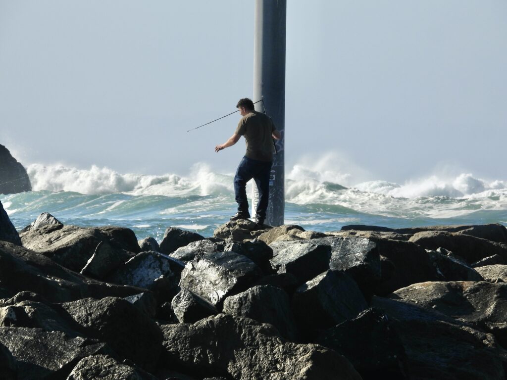
Beware this year: many of the lowest tides arrive near dusk, making it easy to get stranded. A good rule of thumb is to head out at least an hour before low tide and plan to be back at a safe exit point about the time the tide bottoms out — the actual low tide itself.
If waves are large, or sneaker waves predicted, avoid tidepool areas and low tide viewing entirely.
What Causes King Tides?
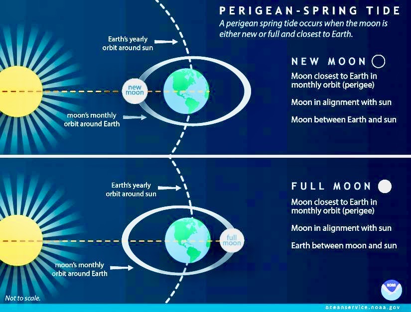
To understand king tides, think of the ocean caught in a gravity tug‑of‑war. The moon and sun each pull on the water, and during the monthly new and full moons they line up on the same plane. In those moments, their forces combine rather than oppose each other, producing what are called “spring tides.”
The word spring here doesn’t mean the season — it refers to the effect of the joint pull. Picture a metal spring stretched from both ends: when the pull is strongest, the tides rise higher and fall lower than usual. King Tides are simply the most extreme of these spring tides, giving us a preview of how rising seas may reshape the coast.
Once a Year: The Biggest Tides Each year the moon reaches its perigee — its closest approach to Earth — in December. The sun follows with its perihelion, its closest approach, in January. When both are near Earth and aligned on the same horizontal plane, whether pulling from the same side or opposite sides, their combined gravity produces the largest tides of the year — both the highest highs and the lowest lows.
Quick Explainer: Biggest Tides of the Year
- Moon’s Perigee: Closest to Earth each December
- Sun’s Perihelion: Closest to Earth each January
- When aligned: Their combined gravity produces the largest tides of the year — the highest highs and lowest lows.
- This year’s dates: 🌊 Thursday & Friday, Dec. 4–5; and again Jan. 2–3, 2026.
When King Tides Turn Catastrophic King Tides become truly dangerous when they coincide with a coastal windstorm or a big wave event — sometimes triggered by storms on the other side of the planet. A powerful wind or wave‑driven surge alone can push waters far beyond normal King Tide levels. Add in heavy rain, and the combined forces can create a true natural disaster, with flooding risks for anyone living in low‑lying coastal areas or along rivers that flow into the ocean.
For Dec. 4 and Dec 5, no big storm is predicted.
Learn More About King Tides There’s an excellent opportunity to deepen your understanding of King Tides this Friday morning at Pudding Creek Beach. Join Mendocino Land Trust Board member and environmental educator Lorrie Lagasse for a guided King Tides Walk on Friday, December 5.
(Thanks to KOZT for sharing this information.)
Share Your King Tide Photos
How to share: Upload your photos directly to the project site and join a statewide visual record.
Visit: California King Tides Project Calif.King Tides Project
Get involved: Snap photos of King Tides along the coast.
Why it matters: Your images help document how rising seas may reshape our shoreline.
So stand at the edge of the continent, camera in hand, and witness the ocean’s greatest performance. The King Tides are not just water rising and falling — they are a reminder of our planet’s power, a preview of its future, and a call to record the drama while we still can.
They are the ocean’s prophecy, showing us how coastlines may shift, how rivers may swell, and how human works — roads, walls, and homes — stand fragile against the timeless pull of moon and sun.
To watch a King Tide is to glimpse both ancient rhythm and future reckoning. It is to feel the scale of forces that shaped continents and will shape them still. And it is to know that each photograph, each observation, is part of a collective memory — a record of how the sea speaks to us now, and how it will speak to generations yet to come.
So go. Observe. Record. Remember. The tides rise, the tides fall — but the story we tell together endures.
making it a prime spot to capture first‑ever photos for the California King Tides Project.